

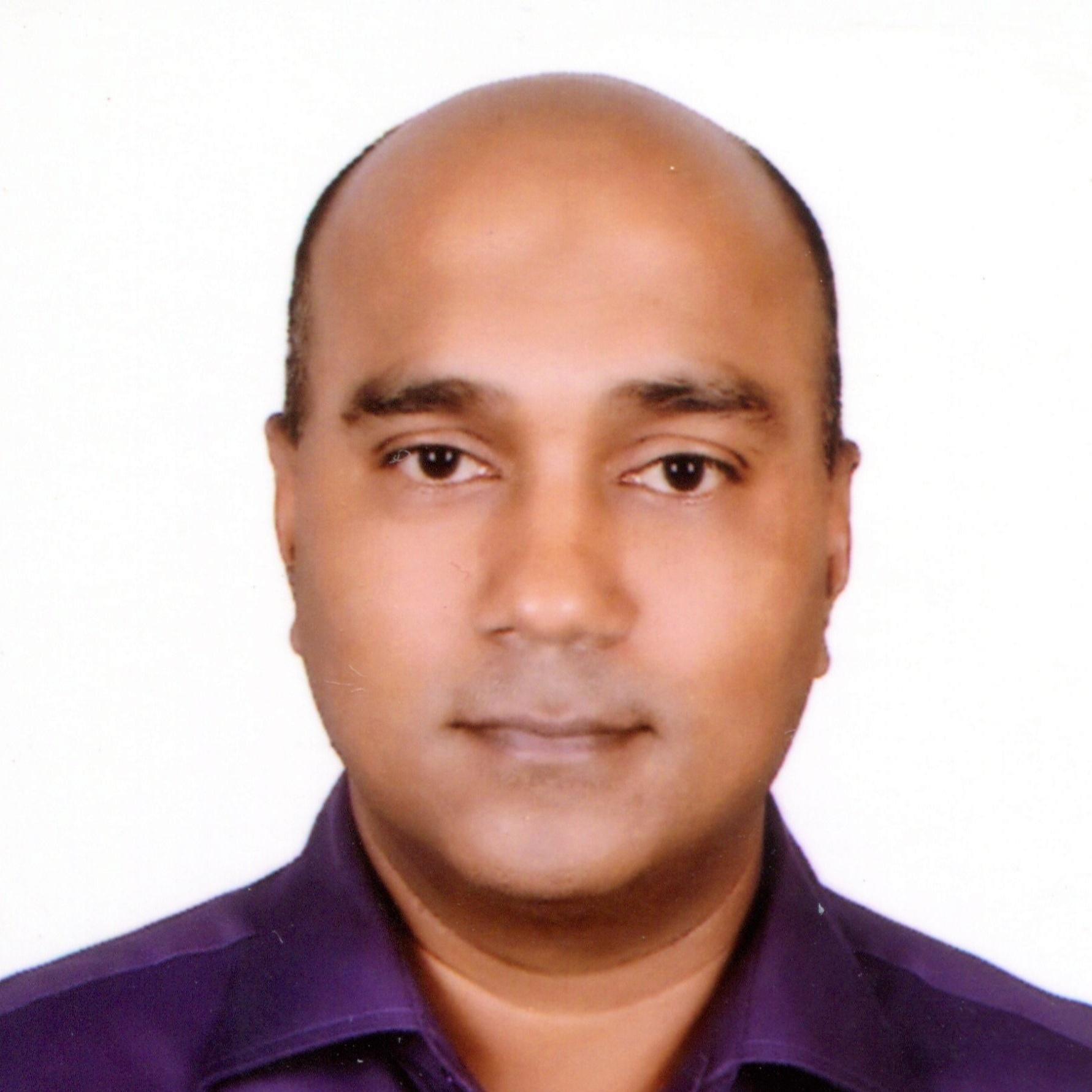
Zakir Ahmed
Civil Engineer
Dhaka,13
Summary
I am Zakir Ahmed, recently retired from BD Army in the rank of Brigadier General. I served in army corps of engineers for 35 years in various capacities. I am a civil engineer with masters in water resources engineering. My special field of expertise are in GNSS, GIS and remote sensing with drone, photogrammetry and LiDAR. I have been involved in numerous civil engineering projects of service and national importance. Lastly I worked as Deputy Chief Coordinator of the largest Railway Project of BD namely Padma Bridge Rail Link Project.
Overview
10
10
years of professional experience
16
16
years of post-secondary education
2
2
Certificates
Work History
Deputy Chief Coordinator, CSC, PBRLP
Padma Bridge Rail Link Project
Dhaka, Dhaka-Mawa-Bhanga-Jashore
12.2019 - 12.2021
- Managed central administrative and financial matters to support construction supervision activities for the steady progress of the project.
- Participate along with other key consultants in all important meetings to decide on the project technical and contractual matters with employer (Bangladesh Railway) and Chinese Contractor (CREC)
- Dealing with recruitment of all international and national key consultants.
- Dealing financial and contractual issues related to all sub-consultants of the project including BUET BRTC.
- Facilitated decision making to expedite the land acquisition and resettlement issues of the project
- Review and amendment of contract agreement of CSC, PBRLP.
- Corridor Mapping of PBRLP alignment by aerial survey and preparation of ortho-photo to be used for validation of layout and design of structures.
- Development of Electronic Document Management System (EDMS) for PBRLP documentation and official correspondence.
- Review and validation of PBRLP Station Buildings.
Surveyor General of Bangladesh
Ministry of Defense, Peoples Republic of Bangladesh
Dhaka, Tejgaon
10.2017 - 01.2019
- Participated in continuous improvement by generating suggestions, engaging in problem-solving activities to support teamwork.
- Developed online data transfer network through radio link between Digital Mapping Center at Mirpur and SoB main office at Tejgaon.
- Successfully completed the project as Project Director of 'Improvement of Digital Mapping System' for the digital transformation of SoB under ADP project.
- Developed online data service facility to all citizens of Bangladesh through web portal.
- Developed online map correction system using GIS software
- Developed new 1:50,000 scale topographic map base on the database of digital 1:25,000 scale new map using cartographic generalization.
- Managed grant aid from JICA finance and technical cooperation worth of 117 cr for GNSS CORS Densification and modernization of Bangladesh Tidal Observatory
- Introduction of aerial survey using drones in SoB.
- Introduction of web map service in SoB
- Completed National Spatial Data Infrastructure prototype development project in bangladesh
- Introduction of waterproof maps in SoB
DG SWO Chittagong
Bangladesh Army
Chittagong, Dampara
01.2016 - 11.2016
- Completed construction of Mohypal Flyover Project at Feni-Lakshmipur cross-road along Dhaka-Chattagram 4 lane highway
- Completed Marine Drive road of 80 km length from Cox's Bazar to Teknaf
- Completed river traning works at Lakhmipur and Char Alexendar
- Planned and prepared DPP for Bangladesh Border Road Project
- Establish design cell in HQ SWO, Chittagong.
- Completed the project of Cadet College Rest House at Inani, Cox's Bazar and handed over to AWT.
- Plan and initiate Violet Villa Project at Inani, Cox's Bazar.
- Planned and started construction of Ramu Garrison road, Alikadam-Poamuhuri road, Thanchi-Madak-Likri road, Ruma-Bagalake road, Mahalchari-Jalanipara-Shindukchari road and Balukhali-Gundhum road project.
Director of Works and Cheif Engineer (DWCE) Navy
Bangladesh Navy
Dhaka, Lalasari Nabi Colony, Dhaka Cantonment
01.2013 - 12.2015
- Construction of new residence and office of CNS
- Planning, Design and Construction of number of high rise office complex and apartment buildings (15-16 storey) to solve the accommodation crisis of navy in Dhaka and Chattagram.
- Consultancy and installation desalination water treatment plant of 5 lakh gal/day capacity in BNS Issa Knan Naval base
- Consultancy for permanent solution of water logging problem in Naval base area of Chattagram
- Construction of submarine berthing facilities like workshop, air compressor room, charging - discharging shop and power substtion at BNS Issa Khan.
- Construction of largest Naval Station Supply depot at Khilkhet
- Construction of Naval Aviation Hanger
Senior Instructor, CE Dept, MIST
Bangladesh Army
Dhaka, Mirpur
02.2011 - 12.2012
- Review and upgrade of CE degree course syllabus.
- Organize special certificate course as OIC on GIS and Remote Sensing at MIST faculties and students and defense officers.
- Conduct regular classes on CE disciplines of fluid mechanics, open channel flow, irrigation engineering etc.
- Perform duties of student hall provost
- Participate in activities of Consultancy and Testing Services of MIST
Engineer Contingent Commander
UN
Bukavu, Eastern Congo
01.2010 - 02.2011
- Recce, plan and establish UN Camp for new engineer contingent from Bangladesh to undertake road rehabilitation task in mountains of eastern Congo.
- Repair of air port facility in Bukavu
- Repair of Bridges in the mission area
- Improvement of water supply facility in misson area
- Repair of major equipment of other BD contingents including BANBAT.
Education
SSC - Science Education
Sylhet Cadet College
Sylhet 07.1979 - 06.1983
HSC - Science Education
Sylhet Cadet College
Sylhet 07.1983 - 07.1985
Bachelor of Science - Science Education
Chittagong University
Chittagong 01.1986 - 10.1987
BSc in Civil Engineering - Civil Engineering
BIT, Rajshahi
Rajshahi 06.1996 - 10.2001
Masters in Defense Studies (MDS) - Defense Studies
DSCSC
Mirpur, Dhaka 04.2003 - 03.2004
MSc in Water Resources Engineering - Water Resources Engineering
Bangladesh University of Engineering & Technology
Dhaka 04.2004 - 08.2006
Skills
GNSS, GIS and Remote Sensing
Drone, Photogrammetry and LiDAR
MS Word, Excel, Power Point, Adobe Illurstrtor, Adobe Photoshop
Web design, Web mapping API and Geoportal
Database Preparation
Certification
Photogrammetry and Drone Survey
Timeline
Deputy Chief Coordinator, CSC, PBRLP
Padma Bridge Rail Link Project
12.2019 - 12.2021
Surveyor General of Bangladesh
Ministry of Defense, Peoples Republic of Bangladesh
10.2017 - 01.2019
DG SWO Chittagong
Bangladesh Army
01.2016 - 11.2016
Director of Works and Cheif Engineer (DWCE) Navy
Bangladesh Navy
01.2013 - 12.2015
Senior Instructor, CE Dept, MIST
Bangladesh Army
02.2011 - 12.2012
Engineer Contingent Commander
UN
01.2010 - 02.2011
MSc in Water Resources Engineering - Water Resources Engineering
Bangladesh University of Engineering & Technology
04.2004 - 08.2006
Masters in Defense Studies (MDS) - Defense Studies
DSCSC
04.2003 - 03.2004
BSc in Civil Engineering - Civil Engineering
BIT, Rajshahi
06.1996 - 10.2001
Bachelor of Science - Science Education
Chittagong University
01.1986 - 10.1987
HSC - Science Education
Sylhet Cadet College
07.1983 - 07.1985
SSC - Science Education
Sylhet Cadet College
07.1979 - 06.1983
Programming with Mapping API
I developed a web application for name 'BGB Smart Border Map' for Border Guard Bangladesh with Leaflet Javascript API which is being used by the force members extensively
Programming with Mapping API
I developed a web application for name 'BGB Smart Border Map' for Border Guard Bangladesh with Leaflet Javascript API which is being used by the force members extensively